This walk is just short of four miles, and begins at a free car park below Phoenix Bridge, just off High Street at Cleator Moor. With this b...
This walk is just short of four miles, and begins at a free car park below Phoenix Bridge, just off High Street at Cleator Moor. With this being a circular route, you can start at any point.
- This route is suitable for most abilities, but there are sections on the road.
To begin, head from the carpark below the bridge towards the adjacent cycle path. Turn right and follow the path towards Frizington.
 |
| Head out the car park, and turn right |
While passing alongside Birks Road, take note of the great views towards Rheda, and Birks Farm.
 |
| Looking towards Rheda |
 |
| Birks Farm in the distance |
 |
| Be aware, cyclists use the path too |
Continue in the same direction. Soon the old Parkside Railway siding will come into view. Take note of the areas mining past.
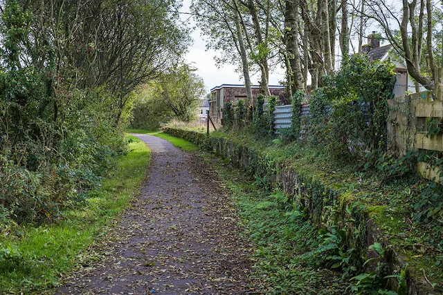 |
| Parkside railway siding |
 |
| Keep an eye out for remnants of the areas mining past |
Carry on walking along the footpath, past the railway siding, and cross the bridge over the A5086. A short distance past the bridge, turn right and leave the footpath.
 |
| Turn right, after the Parkside footbridge |
 |
| Head along the lane, until you reach the roadside |
Head through a gate and follow a farm lane to the road end. Cross the road with care, heading left and up towards Parkside. Take note of the magnificent views on the left, looking towards Kinniside and Dent Fell.
 |
| Cross the road and turn left - take care! |
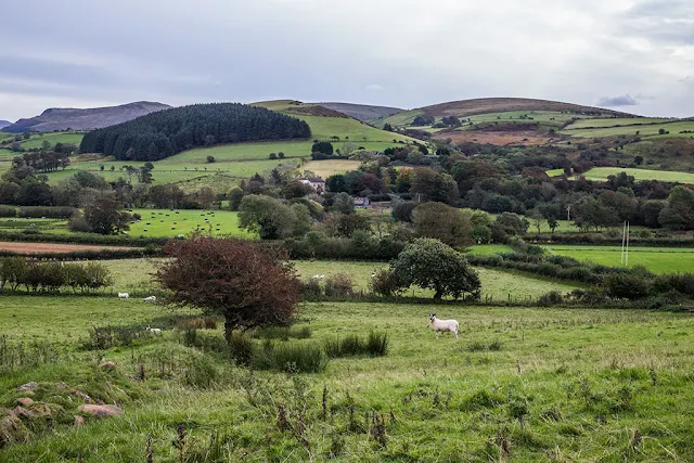 |
| Take note of the stunning views |
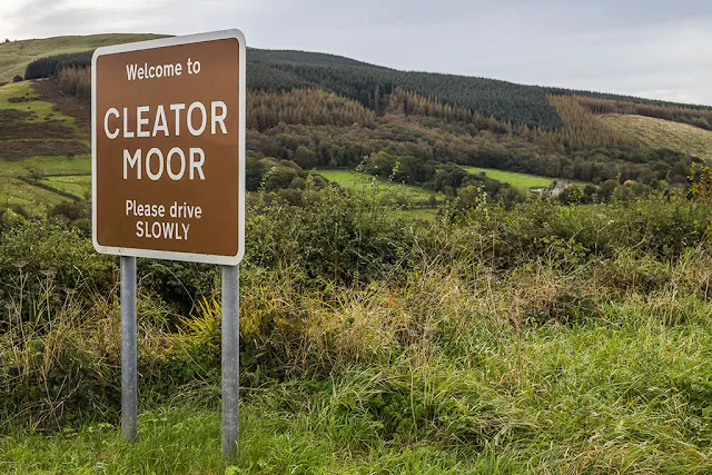 |
| Welcome to Cleator Moor! |
At Wath Brow, cross the junction, taking note of the old church, and head in the direction of Cleator. Head down along Trumpet Road and Trumpet Terrace.
 |
| Head along Trumpet Terrace, turn right at the church |
Trumpet Terrace stretches for at least a quarter of a mile. These were built by eminent mine owner, John Stirling, who was responsible for many other public buildings in the area. The name is borrowed from a field name of adjacent farms.
At St. Mary's Church, turn right and follow the footpath, heading up past the Big Hill play area and St Patrick's Primary School.
- The Big Hill was developed during the early 1970's by the Cellar Youth Project, in association with St Mary's Church. The adventure playground initiative turned the Old Green quarry in Cleator Moor into the first adventure playground in Cumbria. It attracted a £15,000 grant for reclamation.
 |
| The Big Hill |
Head up Todholes Road, straight across the roundabout, along Cragg Road, and you'll soon reach Cleator Moor Square. At the Square, head left along High Street, and return to your starting point.
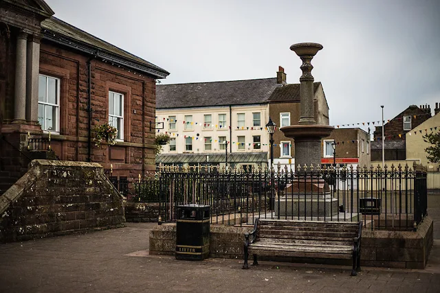 |
| Stirling Memorial, Cleator Moor Square |
Route Details
- Distance: 3.8 miles.
- Time: 1 hour 15 minutes.
- Height Climbed: 243 feet.
- Calories Spent: 378.
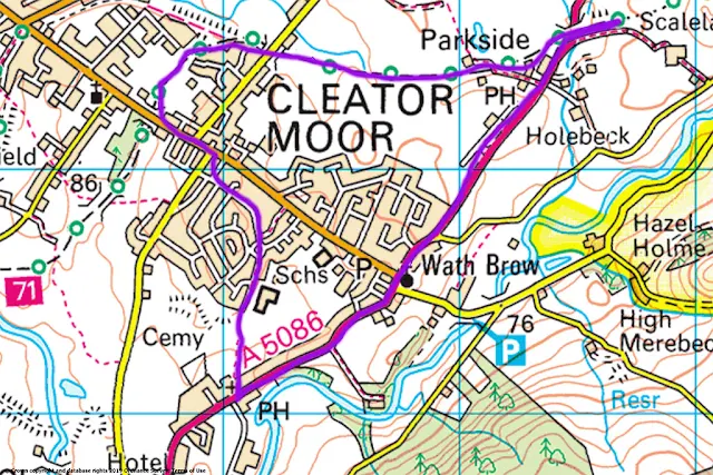 |
| Parkside Circular |


