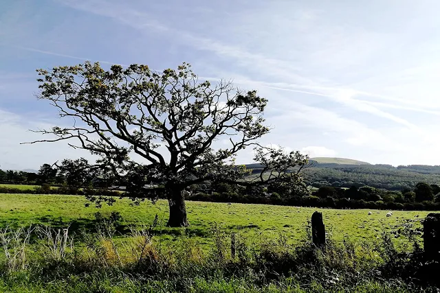
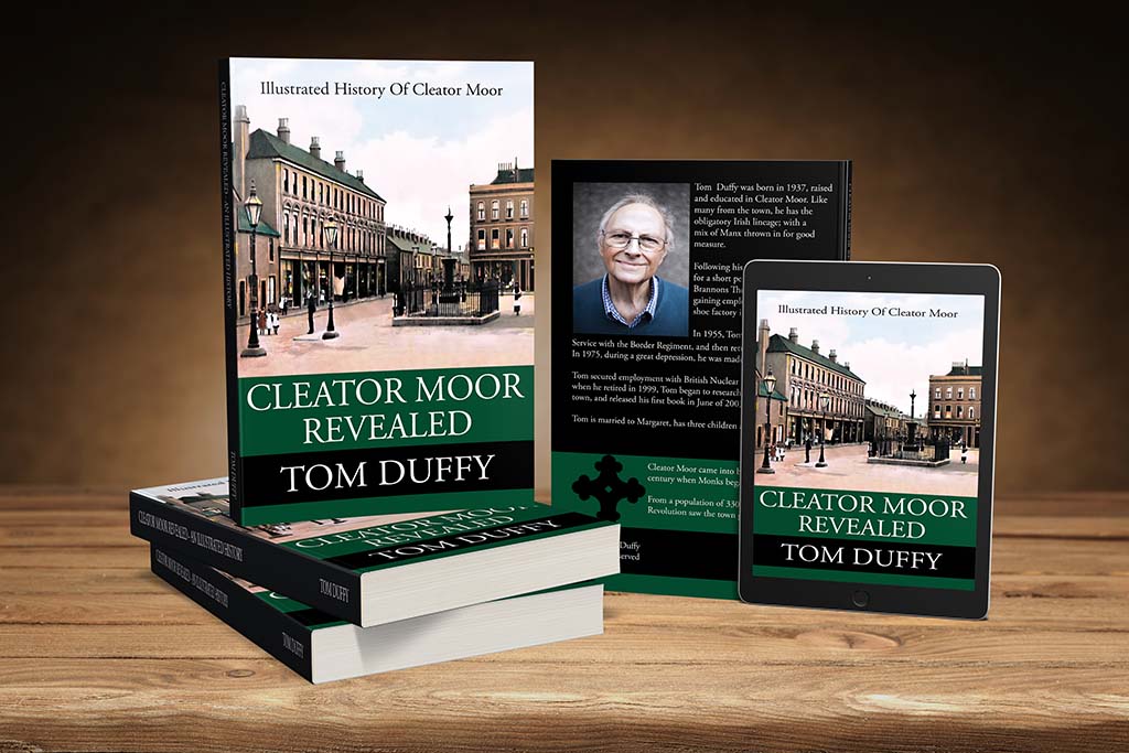
I started this walk at Cleator Moor square. With this being a circular route, you can start at any point. This route is suitable for most ab...
I started this walk at Cleator Moor square. With this being a circular route, you can start at any point.
- This route is suitable for most abilities, but there are sections on the road.
I headed a short distance along Jacktrees Road and then cut down past the play area towards the Cleator Moor allotments. At the allotments, I followed the path left and joined the coast to coast cycle path, heading left, in the direction of Moor Row.
At the half mile mile mark, I left the cycle path and joined the MacKenzies Lonning public footpath. The old lonning can be quite muddy at times, so good footwear is a necessity.
- The Lonning is named after a Mr. Hugh Munro MacKenzie (1830-1885). He was born in Distington. Hugh married Alexandrina Barbara, daughter of Captain Martin Macleod of Drynoch, and sister of the Rev. Donald John Forbes Macleod, rector of Hope-in-Worthen, Shropshire. Hugh was buried in Distington churchyard. His widow resided in Edinburgh.
- Hugh was a civil engineer. He went to Canada and helped lay out several railway lines there. He returned to Cleator Moor, Cumberland and was appointed managing director of the newly formed Crossfield Iron Mining Company. He and his brother, John, were among the original partners of this company.
- He lived at Distington until his death and took a great interest in public affairs. In Jun 1876, he was made a J.P. and he occasionally attended the Whitehaven Court.
- When the Distington School Board was formed, he was appointed chairman and held that office for several years. He was also managing director of the Solway Mining company, a director of the Workington Iron and Steel Company, and of the Whitehaven Shipbuilding Company.
- His bad health during the last three years of his life prevented him from taking an active part in business. He was of a diffident, retiring disposition, but was one of the most generous and charitable of men.

 |
| Joining MacKenzie's Lonning |
On reaching the end of MacKenzies Lonning, I rejoined Jacktrees Road and headed right towards Cleator. I did wonder at how many miners have trudged along this route over the centuries.
- Did you know? there was an old farm at Jacktrees was called Oak trees. The Cumberland term for oak is yak. Jacktrees is a close departure from Yaktrees, or a corruption of Oak Trees.
 |
| View From Jacktrees Road |
From Cleator Main Street, I turned right and headed along Church Street, passing by Church House and the historic St. Leonard's Church.
 |
| Church House, Cleator |
 |
| St. Leonard's Church, Cleator |
On passing the historic Church, I crossed a small bridge where the River Keekle flows. Shortly afterwards I headed up Wainwright's Passage (ooh er mrs!) while taking in the views of Cleator Cricket ground, and beyond.
 |
| Wainwright's Passage, Cleator |
A rough winding path headed up for a short distance. Here, I rejoined the cycle path. This section is known as Hadrian's cycleway. Here, I turned right and headed back towards Moor Row.
 |
| Footbridge Near Moor Row |
On crossing a steel footbridge, which replaced an earlier railway bridge, I arrived at a junction on the path. Here, I headed right and took the route towards Bowthorn. After a short distance, I turned left, and doubled back on myself, heading under a small bridge and then left onto Crossfield Road.
 |
| Crossfield Road, Cleator Moor |
At the Crossfield Road junction, adjacent to St. John's Church, I turned right and followed the road, crossing over Phoenix Bridge and back to my starting point at Cleator Moor Square.
 |
| Phoenix Bridge, Cleator Moor |
Route Details:
- Distance: 3.5 mile.
- Time: 1 hour.
- Height climbed: 210 feet.
- Calories spent: 330 approx.
 |
| MacKenzies Loop, Cleator Moor |


